CHCNAV
Professional centimeter-accuracy GNSS solution with IMU.
Reliable and measurable workflows from field to office with GNSS, total station, LiDAR and UAV technologies.



Professional centimeter-accuracy GNSS solution with IMU.
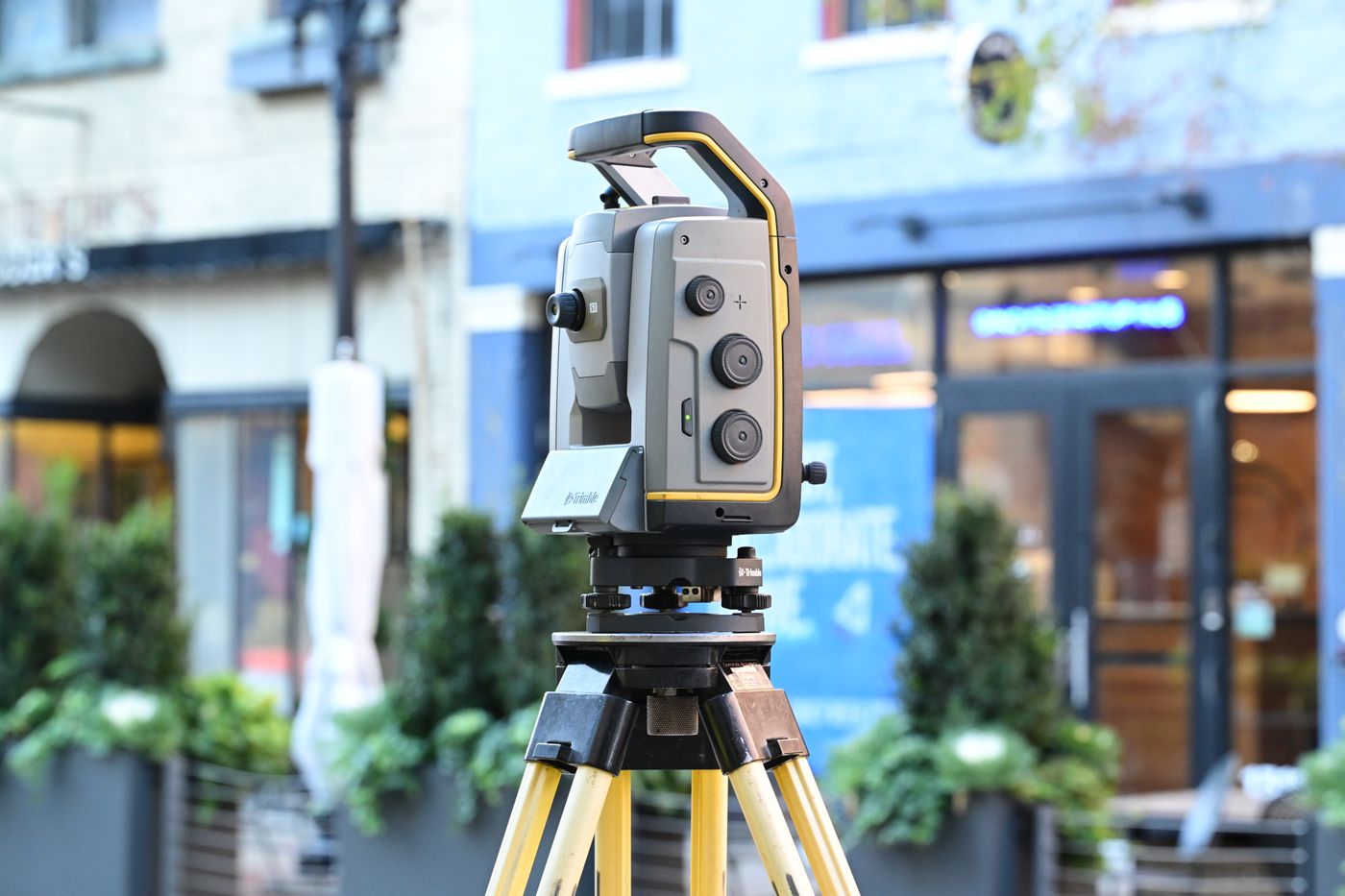
Android operating system and long-range reflectorless measurement.

RTK aerial platform for photogrammetry and precision mapping.
Rapid field scanning and dense point-cloud generation.

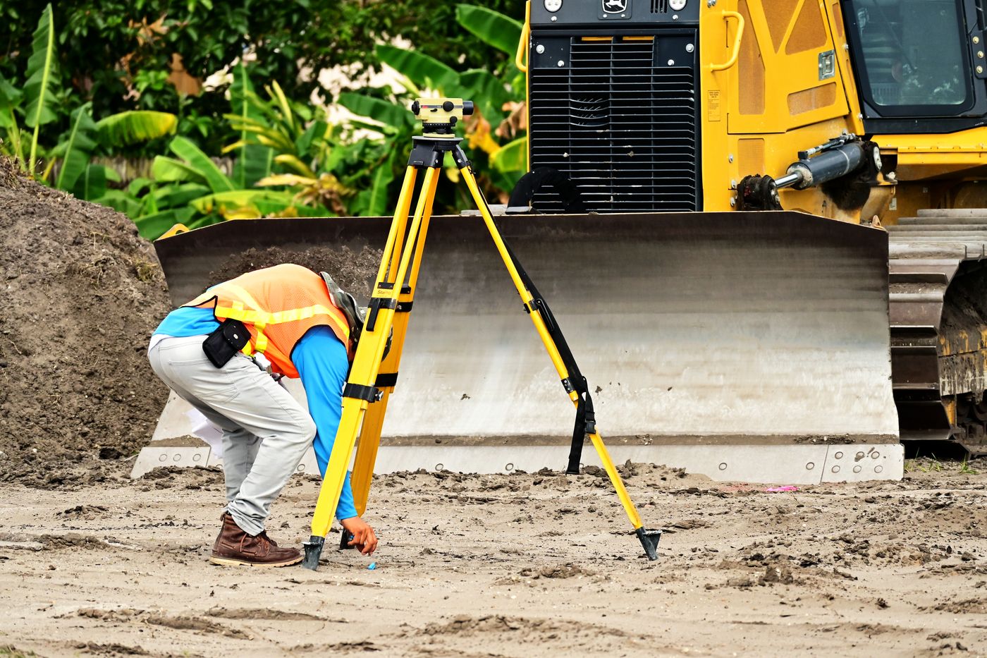
High-accuracy field solution for Level applications.
Accurate at every point and reliable in every project means evaluating more than a single instrument. Required accuracy, terrain, collection speed, software compatibility and team experience must work together. AtlasGeo combines GNSS receivers, total stations, LiDAR scanners, professional UAV platforms and field software around the actual requirements of each project.
GNSS and RTK workflows
Modern GNSS receivers support mapping, setting out, cadastral, infrastructure and construction control tasks with centimetre-level RTK positioning. Satellite tracking, IMU tilt compensation, radio range, battery endurance and controller software should be assessed together. Our team helps configure a practical receiver, controller and software combination for your field conditions.
Precision total station work
Total stations combine angle and distance measurements for engineering projects that demand dependable setting out and control. Robotic tracking, automatic target recognition, cameras and reflectorless measurement can improve productivity in building, façade, road and deformation monitoring projects while reducing operator-related errors.
LiDAR and point clouds
LiDAR systems capture millions of measurements to create dense point clouds for mines, architecture, utilities, forestry, volume calculations and digital twins. Mobile, handheld, vehicle-mounted and UAV configurations are evaluated through range, density, scan rate, GNSS/IMU integration and the deliverable formats required by the project.
Professional UAV mapping
RTK and PPK-enabled UAV platforms collect imagery and positioning data efficiently across large areas. Flight planning, ground sample distance, overlap, camera calibration and control points influence the accuracy of orthophotos, surface models and three-dimensional terrain products. We evaluate aircraft, payload, accessories and processing software as one workflow.
Software and data compatibility
Reliable transfer from the field instrument to office software is essential. Feature codes, coordinate systems, transformation parameters, DXF or LandXML exports and cloud collaboration should be planned before deployment. Category-specific specification tables help teams compare models and select equipment compatible with their existing production environment.
Quotation and technical support
Add multiple products, quantities and project notes to one quotation request. Our specialists review the technical requirement and prepare a corporate PDF covering equipment, accessories, delivery, training and support. Installation, user training, periodic checks and remote assistance help keep surveying teams productive after purchase.
Ölçüm ekiplerimizi, yeni cihazları ve uygulama notlarını Instagram'daki gerçek gönderilerimizden takip edin.
Instagram'da takip et↗Gönderiyi Instagram'da gör
Gönderiyi Instagram'da gör
Gönderiyi Instagram'da gör
7 Critical Criteria for Choosing a GNSS Receiver
What to consider when selecting the right technology for your field project.
7 Critical Criteria for Choosing a GNSS Receiver guide →LiDAR vs Photogrammetry
What to consider when selecting the right technology for your field project.
LiDAR vs Photogrammetry guide →rtk gnss alici secim rehberi
Professional field guide for survey teams.
rtk gnss alici secim rehberi guide →


Uzmanlarımız ihtiyacınıza uygun cihaz ve iş akışını belirlemek için sizinle iletişime geçsin.
İletişim Formu →Fast Stakeout with RTK GNSS
LiDAR Point Cloud Workflow
UAV Mapping